Historic Landscape
Characterisation
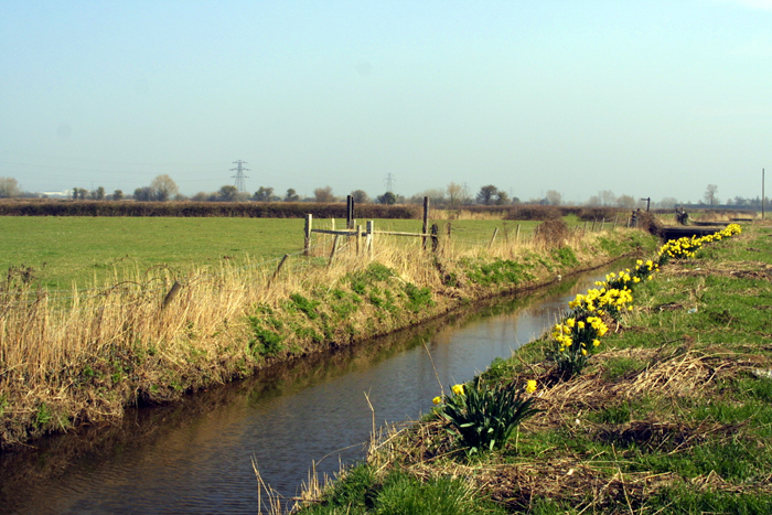
The Gwent Levels
16 Western St. Brides
16 Western St. Brides: simpler landscape, laid out within
a framework of elements surviving from the Roman landscape.
(Photo: GGAT Gwent Levels 100)
Click here for a character
area map
The major elements of this landscape are part of the Roman planned system (area 17). However, the pattern of Roman fields was largely replaced in the medieval period.
A small port is documented at Peterstone from at least the sixteenth century. The place name "New Quay Gout" suggests that this may have lain in Peterstone Pill.
Key historic landscape characteristics
Regular field pattern of long narrow fields, significant boundaries
of probable Roman origin, drainage features include Peterstone Gout, the
old sea wall, and a number of fen-banks (some ridgeing/surface drainage
also survives), limited linear roadside settlement
This landscape area occupies the higher coastal zone east of Peterstone Gout. It merges with area 15 to the east and Maerdy (area 21) to the north.
The principal elements are two NE-SW oriented boundaries which form continuations of elements in the Roman landscape to the west. However, the small blocks of long narrow fields between these boundaries are of medieval not Roman origin.
To the north of the main road there are a number of sinuous boundaries that represent individual episodes of enclosure in the open back-fen moor; these "fen-banks" were designed to keep freshwater from the low-lying back-fen, from flooding the old enclosed lands towards the coast. Settlements are restricted to the main road. The old sea wall and stone gout structure at Peterstone Gout are well preserved.
This is an interesting landscape, at the edge of the area flooded in the post-Roman period. It is characteristic of the general Wentlooge landscape of long narrow fields and the process of reclamation of lower-lying areas through a sequence of intakes from the open moor.
The western half of this area has been affected by agricultural improvement and the construction of a golf course. Most hedges that survive are scrubby, especially to the south of St. Brides village. Further west the landscape has been extensively remodelled by a golf course and trout farm. Though not visually intrusive, they have destroyed the historic fabric of the landscape by removing many reens and grips.
Overall, the integrity and coherence of the landscape are high to the
north/east, but lower to the south/west of this area. The area has suffered
from agricultural improvement and the development of a golf course/trout
farm complex. These developments are not visually intrusive, and the sea
wall still affords fine views of an open landscape. The framework of Roman
elements survives intact.